 HOME
HOME
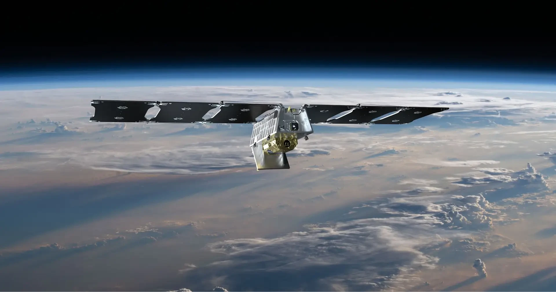
Cal Fire has partnered with Google Research, Muon Space to launch, into low-Earth orbit, the first prototype of the FireSat constellation, from Vandenberg Space Force Base in California aboard SpaceX's Transporter-13 mission.
The entire constellation will consist of 50 satellites fitted with infrared cameras to detect and track wildfires from space. They are also fitted with a next-generation Global Navigation Satellite System Reflectometry (GNSS-R) receiver, this will measure soil and vegetation moisture based on how the surface reflects GPS microwaves.
The FireSat constellation, designed to use AI, is expected to reach full capacity in 2030 and provide a real-time view of the world’s wildfires every 20 minutes.
“The FireSat constellation would be groundbreaking for us,” said Robert Clark, Assistant Chief of Predictive Services for CAL FIRE, an agency responsible for the state of California’s fire protection and management. “A lot of times, the smoke column obscures where the fire is at, and we have limited aerial resources that could give us information on where it is. In wind-driven situations like the fires we had in L.A., the winds can be so strong the aircraft couldn’t fly.”
FireSat’s infrared cameras will allow responders to track and analyze where the fire is moving to provide early alerts for California residents prepare.
“The FireSat initiative aims to provide greater situational awareness than we’ve ever had before, and it benefits not just firefighters, but those living in the community,” said Deputy Chief Marcus Hernandez, who leads the Office of Wildfire Technology Research and Development in California. “Fires get very large so you can’t see the entire perimeter, and they’re in remote places sometimes. We want to see where the fire is moving and the threats.”