 HOME
HOME





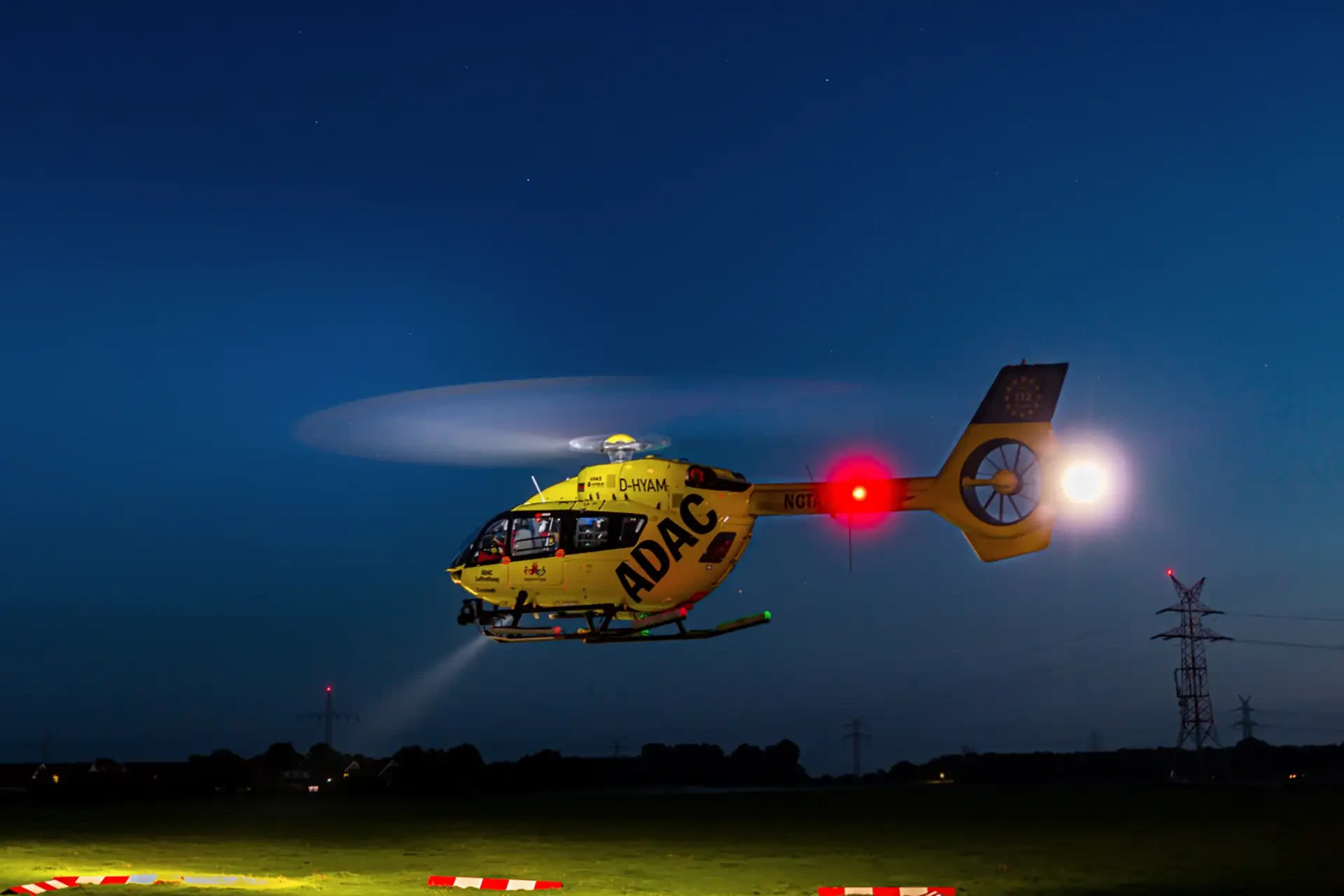
The environmental impact on a helicopter flight can be as big, it not bigger challenge than most airline flights. Simon Sparks examines some of the factors involved in dealing with the environment in helicopter aviation.
Experience and competence go together, but they are supported by excellent training coupled with well developed standard operating procedures (SOPs). Over my flying career I have, on occasion, seen my competence challenged, despite my experience, and this is especially so when dealing with challenging and changeable weather conditions. Modern technology certainly provides more tools for keeping the helicopter and its crew safe, but what never seems to change is the need to constantly evaluate the current conditions and then decide what is the best course of action, sometimes with precious little in the way of time to decide.
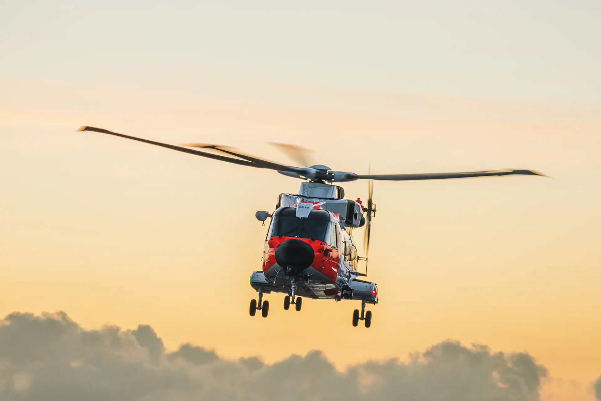
Recently I was night flying in a Royal Norwegian Air Force (RNoAF) SARQueen (SAR specialised AW101) helicopter on a routine training mission. We knew the weather was changeable and that we would need to be prepared to tailor the mission when we got airborne. Being in Norway in March meant that these conditions were varying from almost CAVOK, to heavy snow and IMC within minutes as a strong north-westerly wind pushed shower laden trough lines across the planned operating area. Being a day into night sortie also meant that the effect of the conditions on our way of operating the aircraft also needed to change as the sortie progressed.
We started as planned with some overwater SAR search training and it soon became clear that the heavy snow showers were going to play a significant part in the sortie. The AW101 can fly in moderate icing and snow so we were happy to continue. However, as most pilots will know, anti-icing systems on helicopters can be notoriously fickle with complex limitations and the need to keep the system under relatively close monitoring just I case we were forced to vacate the conditions due to a limit exceedance and even minor system degradation. Overwater operations at night need to consider the cluttered maritime environment of potential moving and stationary obstructions, these days supported by the Automated Identification System (AIS) for marine traffic, and our own radar and Electro-Optic surveillance systems (or FLIR for short).
On completion we moved on to night confined area landings in one of our nominated training areas, with NVGs on, as was the laser collision
avoidance system and with, of course, the IR searchlights ready. Operating to the monochrome terrain (white and black because of recent
snow) and with the green optics of the NVG we manoeuvred at relatively low level to both locate and fly an approach to a nominated landing
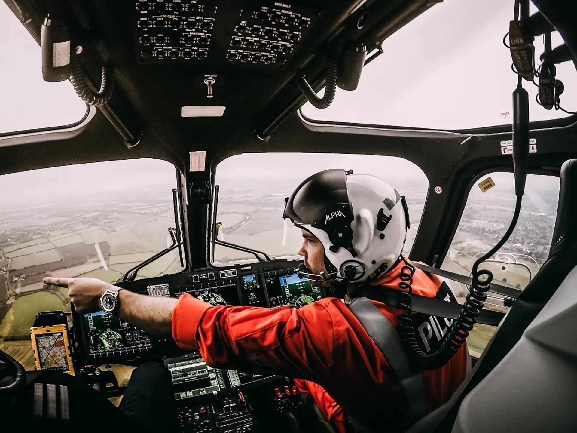
site. As pilot flying this is a constant scanning exercise between the limited external view provided by the NVG and the PFD
indications, most notably for height and speed references. As pilot monitoring you try and support the pilot flying with the relevant
and regular oral calls, but it is important to strike the right balance between the helpful and the annoying. There is, of course, the
rest of the crew to support, which in Norway includes the System Operator (Hoist) at the front door and the System Operator (Radar) at the
main door. With the snow showers coming through in waves the NVG view varied between being helpful and useless whilst the AFCS height
and speed modes greatly supported the pilot’s ability to both gain and hold a stable hover (the auto-hover is okay but can drift a little).
It was challenging but not impossible even with the wet fresh snow, not much in the way of whiteout to worry about.
However, after the second approach it was clear that a large band of snow was coming close (showing on the weather radar) and the plan changed as NVGs aren't much use in driving snow. The sortie profile plan included a series of instrument approaches to a nearby airfield, so this was brought forward and the helicopter climbed out of the training area set up for the Initial Approach Fix (IAF). Immediately the pilot monitoring had a steep increase in workload as in this phase of flight it is their job (based on SOP) to set up the aircraft systems for the required approach. The plan at this stage was to conduct an LPV[1] approach, but it soon became clear from the Aircraft Management System (AMS) indications that Receiver Autonomous Integrity Monitoring (RAIM) and Space Based Augmentation System (SBAS) losses were also going to be a factor, so we shifted to a Baro Vertical Navigation (VNAV) approach. Although the indications on the pilots PFD are very similar to a 3D guided GPS approach, it is important to note that a Baro-VNAV approach only uses barometric altitude information from the aircraft's altimeter to compute vertical guidance for the pilot. This in is then applied to create a notional vertical path between two waypoints, one at the top of the approach and the other at the Minimum Descent Altitude (MDA). The RNoAF SOP is to use a Constant Descent Final Approach (CFDA) technique, where the final approach segment is a continuous descent which uses the vertical speed acquire function of the autopilot with the crew monitoring the advisory heights from the approach chart changing vertical speed as required to meet the required performance criteria.
After two of these approaches, it was time to return to Stavanger. Again, out over the ocean with the System Operator keeping us clear of land and ship traffic, before we conducted a low-level recovery to Sola. The frequency and duration of the heavy snow showers had increased whereby the coast was visible one moment and not the next. We used the SOP techniques with whole crew involvement to find our way toward the approach end of the duty runway and as the shower cleared, we were back, able to fly Special VFR to the SAR landing pad. We had used almost every sensor on the aircraft appropriate to the task and every mode of the ice protection system- all functioned properly.
It was certainly a learning experience for me, as I don’t have much cold weather experience in Norway and did highlight a number of learning points which are relevant to the wider community:
1. Briefing
The crew should brief the conditions fully and understand how they might limit the sortie creating option points throughout the sortie should specific criteria be met. Use the briefing SOP for your organisation and make sure it is subject to review, especially where the operating area changes.
2. Standard Operating Procedures
These should not be underestimated as they define how the crew works together to achieve the mission aims in a safe and effective manner. These should be reviewed regularly, especially when there have been changes to aircraft hardware and software. Consider also lessons from accidents and incidents from other operators doing similar things.
3. Weather
The weather, much like the enemy, always has a vote and technology can help to get around it but never beat it. Technology is often limited by the weather; know and understand why and what you can do to make the systems work for you.
4. GPS Reliability
Don't assume the GPS will work perfectly every time - the further north you are the worse it gets. Other issues such as space weather and jamming, even inadvertent, can give you problems.
5. Equipment Capability
You need to understand how and why a piece of equipment can give limited performance and what other tools you have to deal with the real world.
Above all remember the environment, it takes no consideration of your experience, your technology or your operational needs - that’s you and
your crews problem to solve.
[1] Localiser Performance with Vertical Guidance